
Lawrence Neighbors Across Public Layers
A block lookup works best as a set of narrow questions. MapIndy identifies parcel shapes and adjacency. Assessor cards name assessed owners. Recorded deeds show transfers. Lawrence city systems add permits, maps, and recognized neighborhood groups. Voter service has strict individual and bulk-access limits. Together, these sources describe the block around an address, but they do not create a current household roster.
| Lawrence block source | Block evidence | How to reach it |
|---|---|---|
| MapIndy parcels | Boundaries, parcel IDs, touching lots, alleys, and common areas | Free public viewer |
| Assessor cards | Assessed owner, situs, mailing address, value, and transfers | Free parcel, address, or owner search |
| Recorder RMIS | Deeds, parties, dates, and legal descriptions | Public index; images may cost |
| Neighborhood Hub | Recognized area and public civic organization contacts | City registry |
| City permits | Dated work and address activity | Portal or city records request |
| Voter records | Individual registration service or permitted data request | State portal and statutory process |
The key distinction is owner versus occupant. A tax mailing address may differ from the parcel situs. A deed can name a person, estate, trust, lender, or company. A permit can name an applicant or contractor. Those records should never be relabeled as the people living in a home. If the goal expands from the immediate block to a full road, the Lawrence street directory workflow handles the longer parcel-by-parcel sweep.
Keep a simple evidence table for each Lawrence neighbor parcel. Give it columns for direction from the target, parcel ID, situs, assessed owner, owner mailing city, legal description, map layer, and access date. Add a separate field for what is not public or not located. That last field matters because renters, household members, utility customers, and protected residents should not be guessed from nearby names.
Open Lawrence My Neighborhood
The My Neighborhood address viewer is the quickest visual start for Lawrence neighbors. Enter the target address, place the map pin, and note the visible neighborhood and reference layers. The display is useful for orientation, but generalized polygons do not prove association membership or parcel ownership.
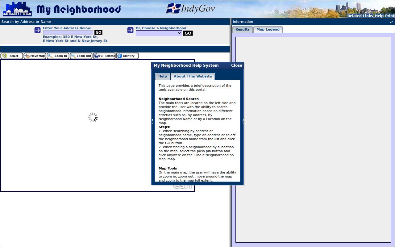
The viewer places one address in its wider civic setting, which helps choose the right parcel and neighborhood sources for the next step.
Open full MapIndy when the exact shared boundary matters. Record the layer names, map scale, print or access date, and any alley, creek, park, right-of-way, or common parcel between two lots. A parcel that looks close on a small map is not always an adjacent neighbor.
MapIndy also exposes building and unit address layers, footprints, police zones, town and city lines, township lines, ZIP boundaries, and historic imagery. Switch on only the layers needed for the question. Too many overlays can hide a thin parcel line or make a generalized neighborhood shape seem exact. If a printout will support a civic or property inquiry, label its scale and date so another person can reproduce the same Lawrence block view.
Map Lawrence Neighbors Parcel by Parcel
Use MapIndy as a measured block snapshot. Search one address and zoom until parcel lines and address labels are readable. The layers include parcels, building and unit addresses, city boundaries, ZIP boundaries, townships, neighborhoods, footprints, and historic imagery. Save each adjacent parcel as its own row. This prevents a map label from being treated as a complete owner or resident record.
- Identify the target parcel ID, street frontage, and map orientation.
- Check each lot touching the front, rear, and sides, including shared or common parcels.
- Open the assessor card and record owner, situs, mailing address, and legal description separately.
- Use RMIS only when a deed or transfer question matters, and confirm the same legal description.
- Add the neighborhood layer last, since civic labels are broader than parcel lines.
Condominiums and unit addresses need extra care. One building footprint or parcel may contain several units, while a visible line may represent common land. The map proves spatial relationships, not occupancy.
Eight Lawrence Neighborhood Labels
The city's Neighborhood Hub formalized eight names in 2025: Oaklandon, Fort Ben, Indian Lake, Lanesville, The Pike, Sunnyside, Geist's Edge, and The Ridge. This timely civic layer gives residents a route to local organizations and city resources. It is not a legal boundary map or a list of every person within those areas.
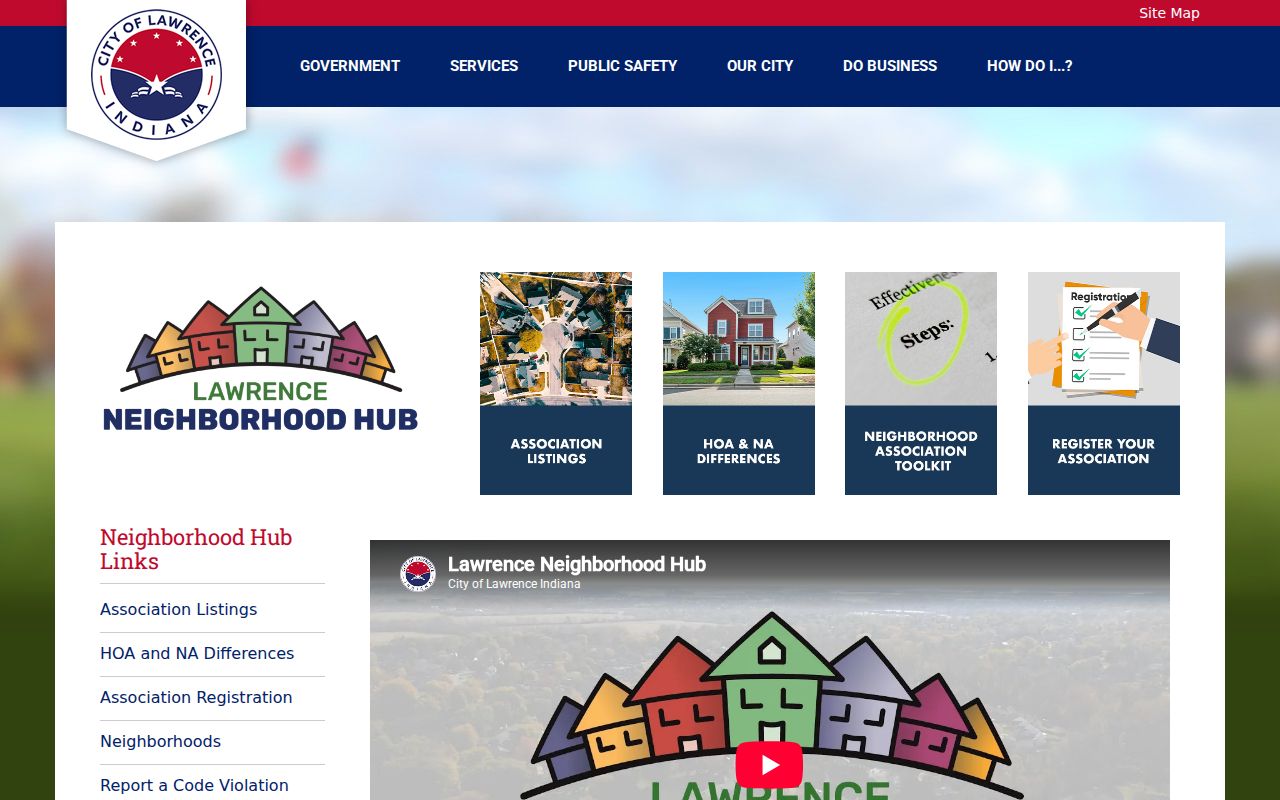
The Hub shows how Lawrence organizes present-day civic contacts, so its update date belongs beside any copied organization record.
The Lawrence city maps page provides street, neighborhood, subdivision, and district context.
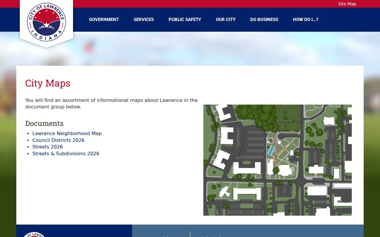
Comparing city maps with parcel layers helps expose places where a civic name, postal address, and property boundary answer different questions.
Lawrence Neighbor Groups and Contacts
The official Lawrence neighborhood registry was marked updated May 8, 2025. Its filters cover homeowners associations, neighborhood associations, and the eight city labels. Seven public cards were observed. These are organization contacts, not member rosters or proof that a parcel belongs to a group.
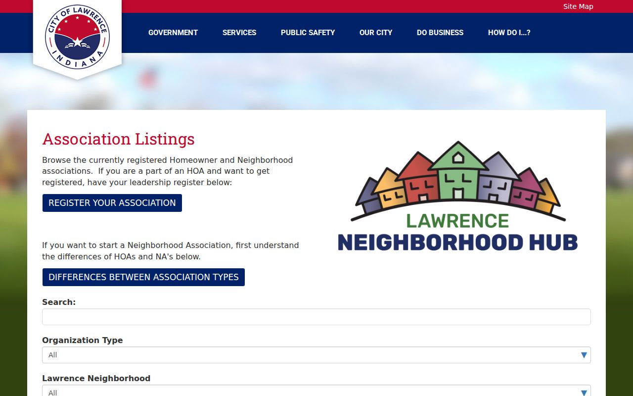
The registry lets a block researcher identify a public civic contact while keeping private household information out of the search.
Indian Lake
Indian Lake Improvement Association
10308 Indian Lake Blvd S, Indianapolis
317-643-6733
Oaklandon
Sunnybrooke Home Owners Association
11113 Palatka Ct, Indianapolis
317-507-4090
The Ridge
Traditions Neighborhood Association
5212 Traditions Drive, Indianapolis
317-696-7139
Sunnyside
Watson Farms HOA
9912 Hard Key Cir, Indianapolis
317-260-8888
The local quirk is useful: Lawrence groups may publish Indianapolis, Greenfield, or Lafayette management addresses. Postal location, civic affiliation, parcel ownership, and residence remain separate fields.
Other observed public cards included Eagle Pines HOA in Geist's Edge, Franklin Trails Estates in Fort Ben, and Kensington Farms in Sunnyside. Their public management contacts may sit outside Lawrence. Contact the group to ask a civic or boundary question, but do not treat its office address as the location of the neighborhood or its officers as the residents of a target block.
Register a Lawrence Neighbor Group
The city also publishes a neighborhood registration form. It asks for the organization, boundary, officers or board, contacts, address, website, and supporting documents. The research found no fee or stated processing time. Submitted files are for city administration, and the public registry does not expose a member-by-member list.
The form explains what the city collects to recognize a group, which is much narrower than personal data about every neighbor.
Note: Confirm the registry's current update date before using a phone number, email address, officer, or management company.
Lawrence Voters Are Not a Block Map
Indiana Voters is an individual service that asks for first name, last name, date of birth, and county of current registration. It is not an address browse tool. Bulk county data uses the VRG-24 statutory application and restricted applicant or use categories. A block roster cannot be built by guessing names or addresses in the individual portal.
Registration status may be active, inactive, or canceled, and it may change through list maintenance. The Indiana Address Confidentiality Program can substitute and protect information for qualifying victims. A missing result does not show that a person is absent from Lawrence, and no map search should be used to defeat a protected address.
Marion County Voter Registration is the proper fallback for questions about the current statutory request process. The research identified a county phone route and the state application, but the current fee line was not fully captured. Ask the office about permitted purpose, fields, delivery format, fee, and confidential-record suppression before requesting data. Do not infer a neighbor's status from an outdated poll list or a failed portal query.
Official Lawrence Neighbor Records
Official rolls and commercial neighbor tools are not equal evidence. County and city records identify a custodian, record class, and date. Commercial products may merge stale addresses, relatives, phone data, and same-name people without showing a clear source. Use the official item that answers the narrow question.
| Measure | Official Lawrence-area record | Commercial category |
|---|---|---|
| Source | Named city, county, state, or library custodian | Often mixed or unclear |
| Date | Instrument, report, filing, or update date | May combine several periods |
| Meaning | Defined field such as owner, parcel, or group contact | May imply a current household |
| Correction | Custodian process and source record | Service-specific privacy process |
A parcel card can support an ownership statement. It cannot turn that owner into an occupant or attach unrelated household members to the block.
Protect Privacy of Lawrence Neighbors
Indiana public records carry mandatory and discretionary limits. Social Security numbers, protected victim information, sealed or expunged files, restricted vital records, and driver-record information are not open directory fields. Utility customer data was not established as public in the Lawrence research. Renters and other household members do not appear as a complete public block list.
Publish only the minimum fact needed: an assessed owner as of a report date, a parcel boundary from a named map layer, or a public association contact from a dated registry. Remove full birth dates, protected addresses, personal contact data that is not needed, and any inference about a private resident.
Lawful use. Lawrence neighbor research can support civic contact, property questions, and personal safety. Never use it to watch, intimidate, expose, or harass anyone.