
Lawrence ZIP Coverage Compared
Census geography identifies five ZIP Code Tabulation Areas, or ZCTAs, that fully or partly touch Lawrence city. This lead table keeps the Lawrence overlap separate from broader delivery territory. A ZCTA is a Census approximation built from blocks and postal information. It is not the live USPS boundary for every address.
| ZIP | Lawrence Context | Station Evidence | Boundary Note |
|---|---|---|---|
| 46216 | Civic core and Fort Benjamin Harrison | Former Fort branch discontinued in 2000 | USPS may use Indianapolis |
| 46226 | Lawrence Area and wider Lawrence Township | Lawrence Post Office, 4430 McCoy St | Not city-limit-only |
| 46235 | Northeast and east Marion residential overlap | No current station confirmed in research | ZIP-wide results extend outside Lawrence |
| 46236 | Indian Lake, Oaklandon, Watson Farms context | Oaklandon, 12125 E 65th St | Indianapolis postal lines occur |
| 46256 | Partial Census overlap and broad health-map area | Castleton, 8710 Bash St | Outside the narrow four-ZIP profile |
The Lawrence ZIP code directory uses these five as the researched city-overlap set. It does not add every code appearing on a regional service map. An exact parcel can sit within Lawrence while carrying Indianapolis on its mailing line, or share a ZIP with land outside the city.
Map Lawrence Census ZIPs
The Census data search supplies the city and ZCTA geography used to identify the overlap set. Its captured result provides a geographic frame for comparing Lawrence with postal areas, not a way to search for named residents.
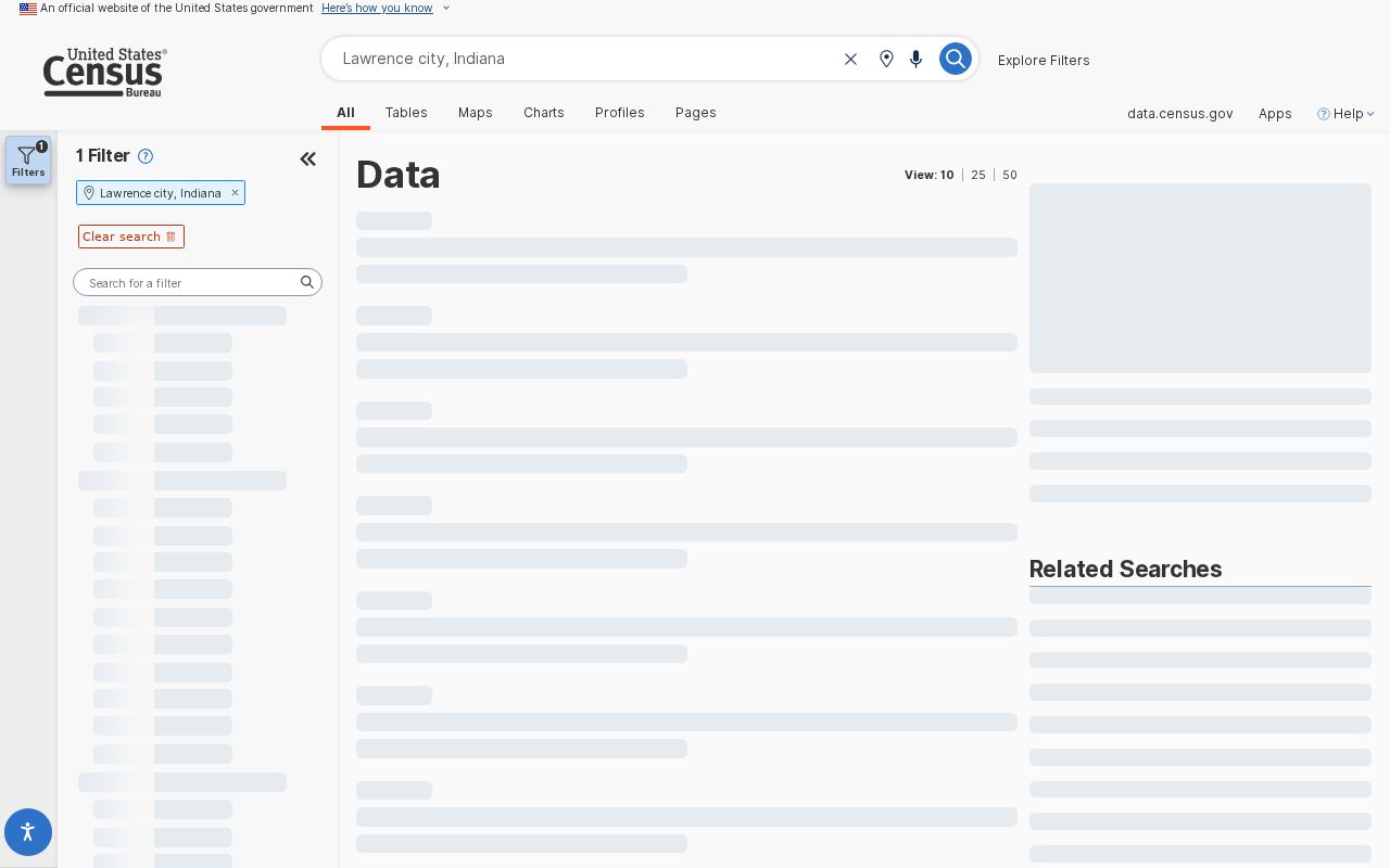
Census ZCTAs generalize 2020 Census blocks around USPS delivery information. Blocks can fall differently from a live delivery ZIP, so use the Census layer for statistics and broad comparison, then use USPS and MapIndy for an address.
Lawrence ZIP Postal Evidence
The named Lawrence Post Office serves 46226 from an Indianapolis mailing address. The official USPS station page is shown below.
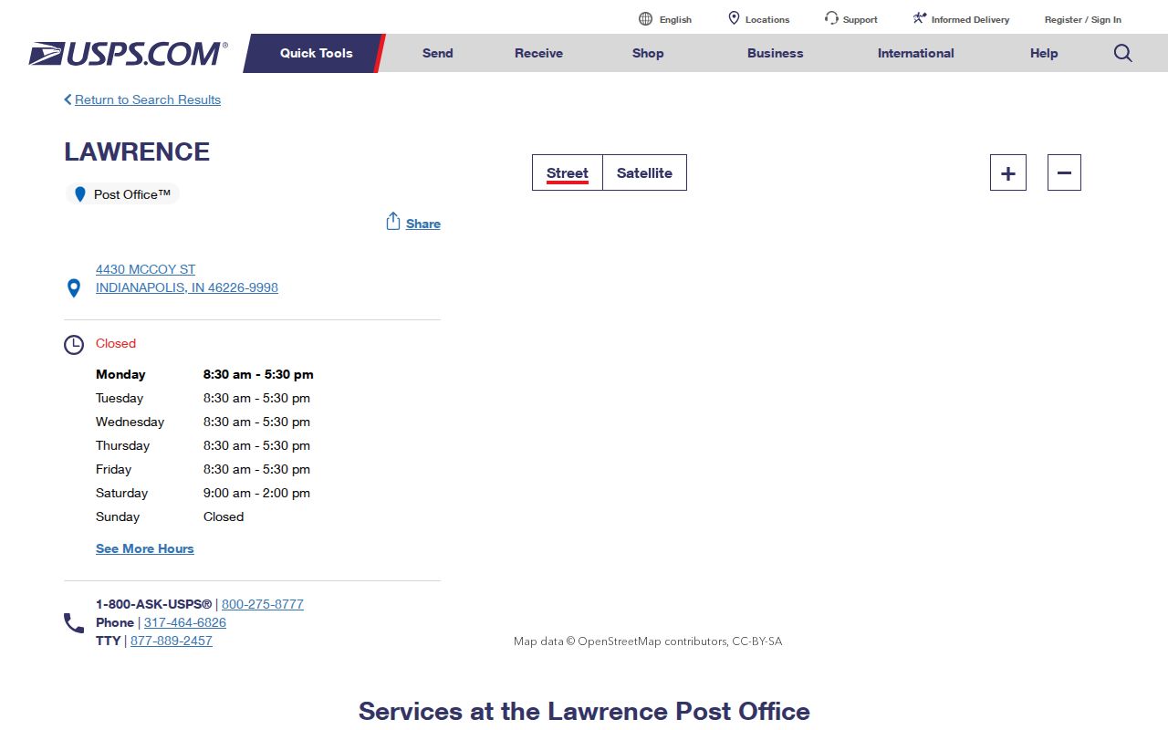
The station name does not make all of 46226 part of Lawrence. It is delivery evidence, while the parcel and town boundary answer municipal geography.
For 46236, the Oaklandon station page places the office at 12125 E 65th St with an Indianapolis last line.
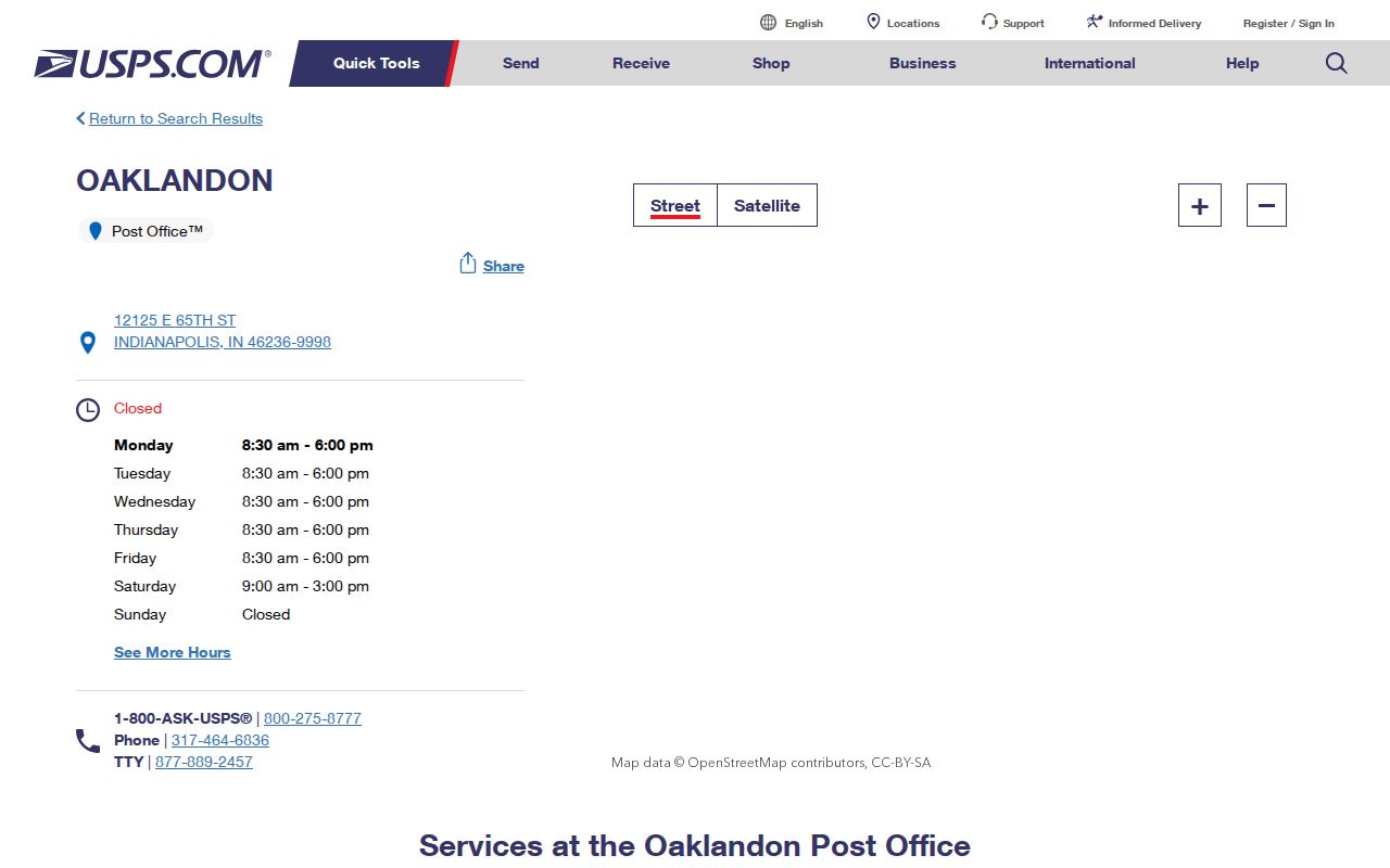
Indian Lake, Oaklandon, and Watson Farms civic labels appear in Lawrence-area material, yet their postal wording and city status still require separate checks.
Search Lawrence by ZIP
A ZIP code is best used to narrow geography, not produce a list of residents. USPS can normalize an address, MapIndy can display the ZIP and city boundary together, and state business or license systems can filter public results by ZIP. The assessor finds an address, parcel, or owner, but does not offer a ZIP-only resident roll. Indiana's individual voter portal requires personal details and county rather than a public ZIP roster.
- Enter the complete street address in USPS ZIP Lookup. Save the recognized city, state, ZIP, and alternate result.
- Open MapIndy. Match the address or parcel, then compare town, township, neighborhood, and ZIP layers.
- Check the Census city and ZCTA overlap. Label whether the match is full, partial, or only part of broader Lawrence-area geography.
- Use ZIP in INBiz or PLA only to narrow an entity or license search. Verify the returned name, role, status, and address details.
- For a person, use an authorized individual source. For an old address, keep the directory year and historic place name.
Once the correct postal area is known, the Lawrence street directory provides the address-level route through parcels, deeds, and maps. Keep a geography-source field in the notes so USPS, Census, and city findings never merge into one unsupported label.
Fort Harrison ZIP History
Fort Benjamin Harrison makes 46216 unusually easy to misread. The term Fort Harrison can refer to a former military post, a neighborhood, a state park, a historic district, or later redevelopment. The USPS historical bulletin says the classified Fort Benjamin Harrison branch was discontinued in 2000 and directed continued use of Indianapolis, IN 46216.
This source documents a postal change, not the boundary of Lawrence. Older military-post and rural-route addresses should be searched with maps, legal descriptions, and the record date before translating them into a modern ZIP.
Lawrence ZIP Definitions Differ
The city's 2022 Data Profile defines the Lawrence Area through 46216, 46226, 46235, and 46236. A broader Live Longer map adds 46250, 46256, 46055, 46220, and other nearby codes. Census overlap, meanwhile, includes 46256 among five ZCTAs touching the city. These are three valid geographies built for different tasks, not competing answers to one boundary question.
The 46256 postal station is Castleton. Its USPS location page supplies current station evidence for the broader service area.
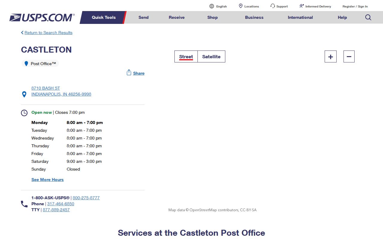
Because 46256 only partly overlaps the researched Census city geography, verify each address. Do not promote 46055 from the broad health map into the five-ZCTA city-overlap set without an exact parcel check.
ZIP Filters Need Context
Two Indiana state searches accept ZIP fields, but neither returns a household directory. INBiz uses Street Address 1, City, and Zip Code with entity type, status, and name-type controls. PLA verification uses City, County, Zipcode, State, profession, license type, status, name, DBA, and license number. A hit should be read as a business filing or credential relationship.
| Search | ZIP Behavior | What to Verify |
|---|---|---|
| USPS | Exact address or cities-by-ZIP mode | Recognized delivery line and alternates |
| INBiz | Advanced address and Zip Code field | Entity name, status, role, and filing date |
| PLA | Zipcode with profession and status filters | License number, type, standing, and dates |
| MapIndy | ZIP boundary display, not a people filter | Parcel, city, township, and neighborhood layers |
| Indiana Voters | No public ZIP-only lookup | Individual registration with Marion County selected |
A person or organization can use a Lawrence-area ZIP without being inside Lawrence. Match the exact address against the parcel and city layer before describing the result. If the source only publishes a mailing address, label it that way and stop short of a residence claim.
Neighborhoods Cross Lawrence ZIPs
Lawrence's Neighborhood Hub recognizes Oaklandon, Fort Ben, Indian Lake, Lanesville, The Pike, Sunnyside, Geist's Edge, and The Ridge. Those names are useful local search terms, but the registry is a civic-contact directory rather than a legal boundary map. Public association cards may use mailing or management addresses in Indianapolis, Greenfield, or Lafayette. A ZIP code directory should preserve that distinction instead of treating an organization's address as proof of where all members live.
The local place-name sequence adds another layer. The 1849 Lanesville plat used landmarks near today's 42nd Street, Franklin Road, and Pendleton Pike. The town took the Lawrence name in 1866. Fort Benjamin Harrison later introduced military-post addresses, and the post-fort park and redevelopment landscape changed how sites are described. Lawrence also remained a separate city after Unigov, even though many mailing lines say Indianapolis.
For a modern neighborhood address, search the complete street line in USPS and MapIndy. Record the parcel, municipal boundary, ZIP layer, township, neighborhood label, and source date in separate columns. For an old address, search Lanesville, Lawrence Township, Fort Benjamin Harrison, and Indianapolis as well as Lawrence. Use a legal description, plat, directory year, or fort map to bridge the old wording to a current parcel.
Fort land needs special care. After the military post closed, Indiana acquired roughly 1,700 acres for the state park and related land moved into preservation, historic, civic, and redevelopment uses. One modern ZIP can therefore contain parcels with very different address histories. A fort-era document may describe a building or unit that no longer has the same street line. Pair the dated source with a fort map, assessor parcel, and later GIS layer before assigning it a current code.
ZIP 46235 offers a similar lesson without the military layer. It appears in official Lawrence-area material and neighborhood examples, but a ZIP-wide result reaches beyond city limits. Research did not confirm a current retail station assignment for that code. That gap should remain explicit. Postal sorting evidence is not a substitute for a verified station, and neither one decides whether a parcel falls inside Lawrence.
Recheck dynamic postal and map sources before publishing a result, since station details, portal fields, and boundary displays can change.
Local quirk. A Lawrence civic organization can carry a non-Lawrence mailing address because civic identity, postal delivery, and parcel geography serve different purposes.
Lawrence ZIPs Versus Limits
MapIndy exposes parcels, building and unit addresses, ZIP boundaries, city and town limits, township, county, neighborhoods, police zones, footprints, and former legal limits. The useful finding is often where two layers disagree. A neighborhood organization recognized by Lawrence may use an Indianapolis, Greenfield, or Lafayette management address. Civic affiliation, mailing address, parcel ownership, and residence are separate fields.
- ZIP and ZIP+4
- A five-digit ZIP directs mail to an area. The added four digits narrow delivery to a smaller segment.
- ZCTA
- A Census statistical area approximating ZIP geography from blocks. It is not a live USPS delivery boundary.
- Postal city
- The city name accepted by USPS for delivery. It does not decide municipal jurisdiction.
- Carrier route
- A mail-delivery path within a ZIP, not a city, parcel, or resident boundary.
For each Lawrence ZIP code directory result, state whether it comes from postal delivery, Census ZCTA, city limits, the four-ZIP health profile, the wider health map, or a neighborhood label. That one field prevents most boundary errors.