
Lawrence Previous Residents by Era
No single roll spans the whole life of a Lawrence address. The Marion County Recorder supplies the longest land trail, while directories become more useful once a street name and house number settle into print. Maps, permits, census schedules, newspapers, and archive files fill different gaps. Begin with the period closest to the event under study, then cross-check it against a second source. That method keeps an assessed owner, a directory householder, and an actual occupant from being treated as the same fact.
| Source | Known Lawrence era | Access point | Evidence returned |
|---|---|---|---|
| Recorded deeds | County records begin in 1821 | Marion Recorder RMIS, terminals, and older deed holdings | Parties, instrument date, parcel or legal description |
| Polk directories | Indianapolis runs from 1855; local holdings have gaps | IndyPL, State Library, and IU Indianapolis | Dated names, addresses, occupations, and spouses |
| Haines criss-cross | 1940 to 1979 holdings | Indiana State Library | Address-to-name and name-to-address links |
| Sanborn maps | 1887 to 1950 on microfilm | IndyPL, State Library, IHS, and IU Indianapolis | Historic structures and address context |
| Permit and inspection files | Coverage dates not published | Lawrence portals or a city records request | Dated work and property activity, not occupancy |
For a recent address, save the assessor parcel card and transfer rows first. For the mid-twentieth century, search Haines and suburban directory years beside Polk volumes. Earlier work often shifts to deed books, plats, township or section references, and newspaper files. The Lawrence city directory collections are best used as dated snapshots, not as one continuous resident roll.
Freeze Lawrence Address Records First
The present parcel is the control point for a search into previous residents. Use the Marion County Assessor Property Cards search by suggested address, seven-digit parcel number, 18-digit state parcel number, or owner name. Save the report date, situs address, owner mailing address, parcel identifiers, legal description, neighborhood code, and transfer rows. A situs address marks the property location. It is not proof that the assessed owner lives there.
The card can also show improvement details and a sketch. Those fields help distinguish an old structure from a later replacement, but they do not name every person in the household. If an address suggestion fails, use MapIndy to find the parcel and follow its property-card link. Public terminals and county staff are fallback channels when a unit address or report link fails.
Note: Keep both parcel formats because Lawrence permit, map, and deed systems may ask for different identifiers.
Trace Lawrence Property Records Backward
The Marion Recorder RMIS index carries the ownership search backward. RMIS accepts party names, instrument type, recording dates, subdivision, parcel PIN, section-township-range, and a full GIS address. Index information is public, but remote images or printing may require a subscription or payment. The Recorder also provides public terminals. County records are described as starting in 1821, although the current portal does not publish one firm online cutoff.
- Copy the current assessed owner, both parcel numbers, and the complete legal description.
- Find that owner's purchase deed. Record the document number, date, type, and grantor.
- Search the grantor as a grantee to locate that party's earlier purchase.
- Repeat the link, checking the lot, subdivision, or section data at each transfer.
- When an image or index is missing, use a Recorder terminal, deed book, library holding, or archive finding aid.
- Grantor and grantee
- The grantor gives an interest in land; the grantee receives it.
- Chain of title
- The linked sequence of recorded transfers for the same land.
- Legal description
- The lot, subdivision, or survey language that identifies land when street labels change.
Assessor transfers help locate a deed, but the recorded instrument controls the title evidence. Mortgages, liens, releases, and assignments may mention the same parties without transferring ownership. Keep those document types separate.
Old Lawrence Names Unlock Records
A modern street search can miss previous residents because Lawrence has been described as Lanesville, Lawrence Township, Fort Benjamin Harrison, and Indianapolis-area property. Lanesville was platted in 1849, and Lawrence became the approved name in 1866. Fort addresses formed a distinct record stream after the post was established in the early twentieth century. Lawrence then remained an excluded city when Unigov began in 1969, so an Indianapolis mailing label does not mean the parcel left Lawrence city government.
Search the street address and every known place-name variant. When a parcel was split, renumbered, replatted, or shifted from military to civilian use, follow the legal description instead of forcing an old file into the current address. This is the Profile 2 insider rule that saves the most time: address text changes, while a well-traced lot or survey reference can bridge the gap.
The Indiana Historical Bureau's Fort Benjamin Harrison marker gives the official post timeline.
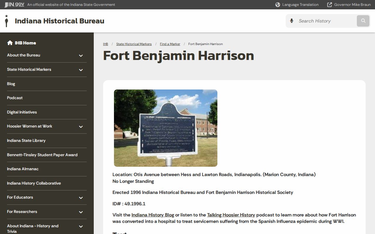
The marker helps distinguish a military-post address from a civilian Lawrence household and anchors the fort name to a dated source.
Map Lawrence Address Records Over Time
The IndyPL House History route points researchers to city directories, deeds, clipping files, census records, and Sanborn maps. Sanborn coverage on microfilm runs from 1887 through 1950 at IndyPL, the State Library, and the Indiana Historical Society, with online material through IU Indianapolis. Choose the map year nearest the directory entry. Do not project a current parcel boundary onto an old map without checking the plat.
Historic-structure research can continue through SHAARD. Its records include surveyed structures, cemeteries, bridges, and register references, but coverage varies and some archaeological data is restricted.
A SHAARD result adds historic context to the address trail; it does not by itself identify an occupant or fill a missing deed.
Fort Records Changed Lawrence Addresses
Fort Benjamin Harrison is both an address source and a source of false matches. Official Lawrence history places the federal purchase in 1904 and dedication in 1906. The fort closure and state acquisition in the 1990s shifted about 1,700 acres into park, historic, and redevelopment uses. A reference to Fort Harrison can mean a post, a neighborhood, a park, a historic district, or later reuse land. Record which meaning the source uses.
That transition explains why a present parcel may sit near former military tracts, preserved buildings, park land, or new subdivisions. Search military-post terminology separately from civilian household directories. When the paper trail ends at a government acquisition, the next useful record may be a historic map or agency file rather than another private deed.
Lawrence Archive Records Bridge Gaps
Digitization does not mean that every prior owner can be found by name. Marion County reported more than 2.5 million Recorder documents from 1821 through 1964 digitized, while indexing continued over time. A scan may exist even when a portal query misses it. The Indiana Archives holdings search helps identify older land, court, and vital series before requesting a box or reel.
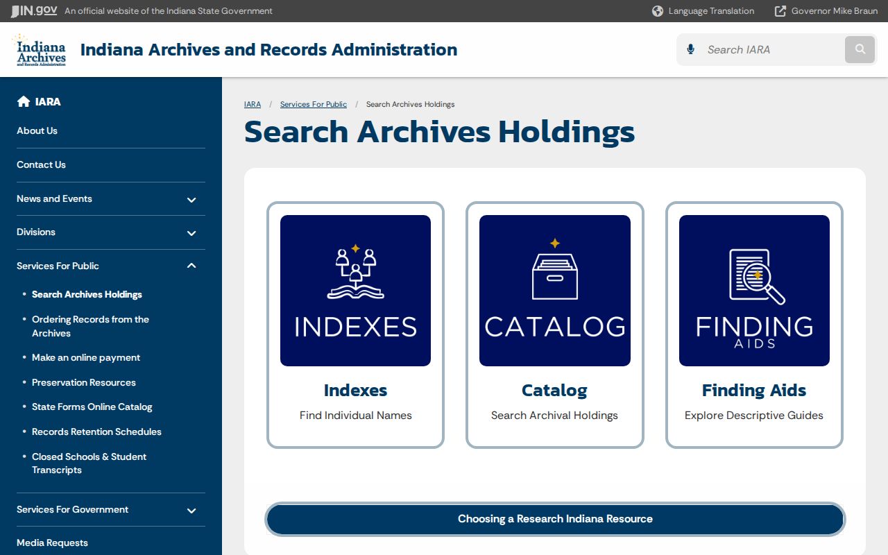
The holdings description shows what an archive preserves and how to ask for it, but a finding aid is not the underlying resident record.
The Indiana Historical Society collections add maps, photographs, manuscripts, and neighborhood or institutional files.
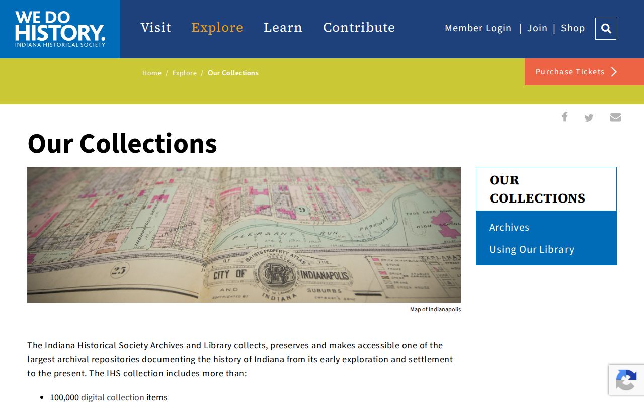
Those collection records can explain a building or area when directory and deed evidence alone leaves the setting unclear.
Lawrence Permit Records Date Property
Lawrence building records can date construction, alterations, inspections, right-of-way work, and code activity. The Tyler public search exposes permit type, permit number, and service address. Its exact type choices and historical coverage were not available in the inspected source, so a blank result is not evidence that no work occurred. Use the parcel identifier if an address variant fails.
For records that do not appear online, submit a specific request through Lawrence City Legal. Name the full address, parcel, department, record class, and date range, and ask for electronic copies and a fee estimate. A permit may identify an owner, contractor, or applicant. It does not prove who occupied the house.
Note: Treat permit issue and inspection dates as property events, never as move-in or move-out dates.
Lawrence Past Households in Print
Owners are only one layer of previous residents. Haines criss-cross directories can turn an address into printed names for holdings from 1940 through 1979. Polk and suburban editions add annual or periodic household clues, though runs have gaps. Start with an address in the reverse section, copy each name exactly, then check those names in the alphabetical section for occupation, spouse, employer, and another address.
- Record the directory title, publisher, year, page, address, and every abbreviation as printed.
- Compare the closest available years and mark gaps rather than assigning a move date.
- Pair the directory snapshot with the nearest released census, map, newspaper, and deed evidence.
- Use obituaries, cemetery sources, and probate records as dated endpoints, while withholding private heir addresses.
A directory may omit renters, children, military personnel, transient people, or anyone outside its collection rules. Census and newspaper records answer different questions. Preserve those distinctions when stating who lived here before.
For each past resident, keep the exact printed name, publication year, page, and address beside the scan or citation. Then record whether a deed, census line, obituary, or newspaper notice confirms the link. Two people with the same initials are not the same person without another match, such as a spouse, occupation, middle name, or stable address.
Lawful use. Lawrence previous-resident research supports house history, genealogy, and estate work. Never use an old or current address to track, expose, or harass a living person.